 ANGARA
Current Status
Where is the vessel?
ANGARA is currently in 68 nm NW of SUSA, based on AIS data received about 15h ago.
Latest AIS update:
Current position: 35.62167° N, 130.96333° E (68 nm NW of SUSA)
Average speed (last 7 days): Loading…
Average speed (last 30 days): Loading…
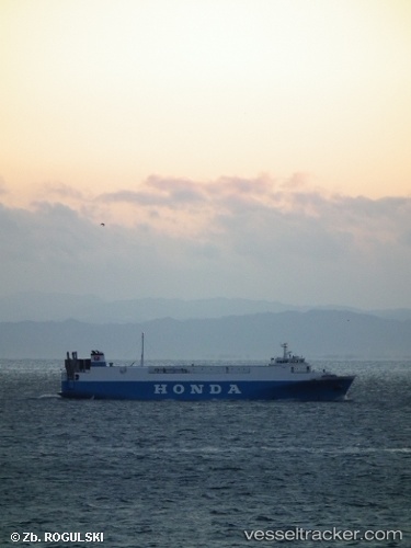
Vessel profile: ANGARA is a Vehicles Carrier with dimensions 17m x 115m.
This page combines live AIS, route history, probable destination signals, nearby traffic, and port activity for practical vessel monitoring.
The current position of vessel ANGARA is 35.62167 lat / 130.96333 lng. Updated: 2026-05-18 23:21:09 UTCNearest reference points:
- 67 nm W of NAKANOSHIMA
- 39 nm N of Iwami
- 63 nm NW of Unnan
Currently sailing under the flag of Sierra leone ![]()
ANGARA built in 1995 year
Deadweight:
2682 tDetails:
Live Vessel ANGARA Analytics (details, animations, etc.)
Recent AIS points (UTC):
2026-05-18 20:19:18 UTC · 36.29686, 131.12064 · SOG 13.3 kn · COG 187°2026-05-18 22:09:07 UTC · 35.89167, 131.03168 · SOG 13 kn · COG -1°
2026-05-18 22:09:07 UTC · 35.89167, 131.03168 · SOG 13 kn · COG -1°
2026-05-18 23:21:09 UTC · 35.62167, 130.96333 · SOG 13 kn · COG -1°