 SUN
SUN
Current Status
Where is the vessel?
SUN is currently in 10 nm SW of Basrah Oil Terminal, based on AIS data received about 15h ago.
Latest AIS update:
Current position: 29.61622° N, 48.70658° E (10 nm SW of Basrah Oil Terminal)
Average speed (last 7 days): Loading…
Average speed (last 30 days): Loading…
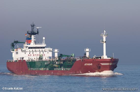
Vessel profile: SUN is a Lpg Tanker with dimensions m x m.
This page combines live AIS, route history, probable destination signals, nearby traffic, and port activity for practical vessel monitoring.
The current position of vessel SUN is 29.61622 lat / 48.70658 lng. Updated: 2026-05-20 10:18:03 UTCNearest reference points:
- 11 nm SW of Basrah Oil Terminal
- 15 nm S of Imam Khomeini Pt/ Mahshahr City
- Near Ra's al Ard
Currently sailing under the flag of Sao Tome and Principe ![]()
Details:
Live Vessel SUN Analytics (details, animations, etc.)
Recent AIS points (UTC):
2026-05-20 07:41:42 UTC · 29.61665, 48.70420 · SOG 0 kn · COG 85°2026-05-20 07:50:14 UTC · 29.61677, 48.70443 · SOG 0.1 kn · COG 120°
2026-05-20 09:11:22 UTC · 29.61660, 48.70627 · SOG 0.2 kn · COG 340°
2026-05-20 10:18:03 UTC · 29.61622, 48.70658 · SOG 0.1 kn · COG 84°