 AZARA
AZARA
Current Status
Where is the vessel?
AZARA is currently in 26 nm NE of Karystos, based on AIS data received about 14h ago.
Latest AIS update:
Current position: 38.33856° N, 24.77156° E (26 nm NE of Karystos)
Average speed (last 7 days): Loading…
Average speed (last 30 days): Loading…
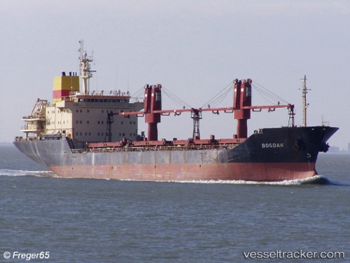
Vessel profile: AZARA is a Bulk Carrier with dimensions m x m.
This page combines live AIS, route history, probable destination signals, nearby traffic, and port activity for practical vessel monitoring.
The current position of vessel AZARA is 38.33856 lat / 24.77156 lng. Updated: 2026-05-18 22:55:50 UTCNearest reference points:
- 16 nm E of Skíros
- Near Agia Marina Grammatikou Attikis
- Near MILAKI
Currently sailing under the flag of Palau ![]()
Details:
Live Vessel AZARA Analytics (details, animations, etc.)
Recent AIS points (UTC):
2026-05-18 19:31:01 UTC · 38.78214, 24.19900 · SOG 10.9 kn · COG 130°2026-05-18 20:02:41 UTC · 38.72031, 24.29459 · SOG 11 kn · COG 137°
2026-05-18 21:36:11 UTC · 38.51798, 24.56058 · SOG 11 kn · COG 136°
2026-05-18 22:55:50 UTC · 38.33856, 24.77156 · SOG 11.5 kn · COG 140°