 vesseltracker.com
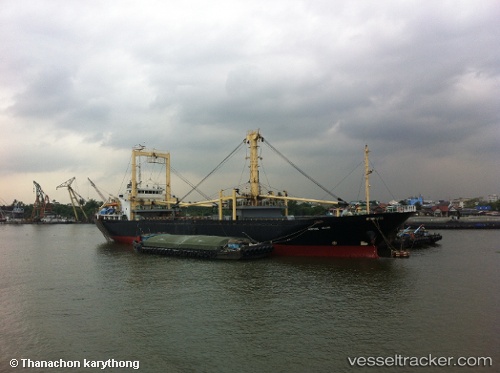
Fortune Island
Current StatusWhere is the vessel?
Fortune Island is currently in 25 nm E of TANJUNG JATI, based on AIS data received about 14h ago.
Latest AIS update:
Current position: 6.34223° S, 111.14397° E (25 nm E of TANJUNG JATI)
Average speed (last 7 days): Loading…
Average speed (last 30 days): Loading…
Vessel profile: Fortune Island is a General Cargo Ship with dimensions 18m x 96m.
This page combines live AIS, route history, probable destination signals, nearby traffic, and port activity for practical vessel monitoring.
The current position of vessel Fortune Island is -6.34223 lat / 111.14397 lng. Updated: 2026-05-18 10:20:02 UTCNearest reference points:
- 49 nm NE of TANJUNG JATI
- 68 nm NW of Gagak Rimang Fso
- 13 nm NW of Palang
Details:
Live Vessel Fortune Island Analytics (details, animations, etc.)
Recent AIS points (UTC):
2026-05-18 07:03:29 UTC · -6.52667, 111.77167 · SOG 11 kn · COG -1°2026-05-18 07:51:31 UTC · -6.48333, 111.61833 · SOG 12 kn · COG -1°
2026-05-18 09:19:56 UTC · -6.40015, 111.33866 · SOG 12.1 kn · COG -1°
2026-05-18 10:20:02 UTC · -6.34223, 111.14397 · SOG 12.1 kn · COG -1°