 H415
H415
Current Status
Where is the vessel?
H415 is currently in 54 nm NE of PENGERANG, based on AIS data received about 14h ago.
Latest AIS update:
Current position: 1.97980° N, 104.77928° E (54 nm NE of PENGERANG)
Average speed (last 7 days): Loading…
Average speed (last 30 days): Loading…
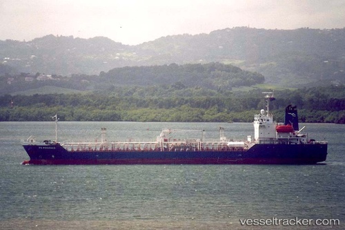
Vessel profile: H415 is a Oil/Chemical Tanker with dimensions m x m.
This page combines live AIS, route history, probable destination signals, nearby traffic, and port activity for practical vessel monitoring.
The current position of vessel H415 is 1.97980 lat / 104.77928 lng. Updated: 2026-05-19 20:08:28 UTCNearest reference points:
- 55 nm NE of PENGERANG
- 53 nm NE of PENGERANG
- 51 nm NE of PENGERANG
Currently sailing under the flag of Comoros ![]()
Details:
Live Vessel H415 Analytics (details, animations, etc.)
Recent AIS points (UTC):
2026-05-19 16:52:08 UTC · 1.97897, 104.77902 · SOG 0.2 kn · COG -1°2026-05-19 18:09:48 UTC · 1.97964, 104.77951 · SOG 0.1 kn · COG -1°
2026-05-19 19:18:03 UTC · 1.97983, 104.77933 · SOG 0.1 kn · COG -1°
2026-05-19 20:08:28 UTC · 1.97980, 104.77928 · SOG 0 kn · COG -1°