 SEETAH
Current Status
Where is the vessel?
SEETAH is currently in 44 nm SW of Bushehr, based on AIS data received about 14h ago.
Latest AIS update:
Current position: 28.40840° N, 50.21656° E (44 nm SW of Bushehr)
Average speed (last 7 days): Loading…
Average speed (last 30 days): Loading…
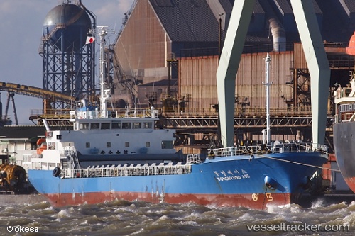
Vessel profile: SEETAH is a General Cargo with dimensions m x m.
This page combines live AIS, route history, probable destination signals, nearby traffic, and port activity for practical vessel monitoring.
The current position of vessel SEETAH is 28.40840 lat / 50.21656 lng. Updated: 2026-05-19 01:18:59 UTCNearest reference points:
- 41 nm S of Soroosh (Cyrus) Terminal
- 44 nm NE of Ras Al Khair
- 38 nm S of Soroosh (Cyrus) Terminal
Currently sailing under the flag of Saint Kitts and Nevis ![]()
Details:
Live Vessel SEETAH Analytics (details, animations, etc.)
Recent AIS points (UTC):
2026-05-18 22:04:30 UTC · 28.68176, 49.76306 · SOG 8.8 kn · COG 187°2026-05-18 22:29:25 UTC · 28.64833, 49.82167 · SOG 9 kn · COG -1°
2026-05-18 23:47:50 UTC · 28.55006, 50.01529 · SOG 9.1 kn · COG 186°
2026-05-19 01:18:59 UTC · 28.40840, 50.21656 · SOG 8.9 kn · COG 202°