 vesseltracker.com
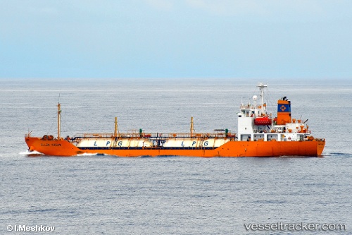
Sl Butanding
Current StatusWhere is the vessel?
Sl Butanding is currently in Near Lobo, based on AIS data received about 14h ago.
Latest AIS update:
Current position: 13.48833° N, 121.22833° E (Near Lobo)
Average speed (last 7 days): Loading…
Average speed (last 30 days): Loading…
Vessel profile: Sl Butanding is a Lpg Tanker with dimensions 15m x 96m.
This page combines live AIS, route history, probable destination signals, nearby traffic, and port activity for practical vessel monitoring.
The current position of vessel Sl Butanding is 13.48833 lat / 121.22833 lng. Updated: 2026-05-18 10:49:07 UTCNearest reference points:
- 12 nm S of Lobo
- Near Lobo
- Near Nasugbu, Luzon
Details:
Live Vessel Sl Butanding Analytics (details, animations, etc.)
Recent AIS points (UTC):
2026-05-18 07:27:47 UTC · 13.66365, 120.69045 · SOG 11 kn · COG -1°2026-05-18 07:46:17 UTC · 13.63048, 120.73749 · SOG 10.9 kn · COG -1°
2026-05-18 09:56:08 UTC · 13.50861, 121.08222 · SOG 10.3 kn · COG -1°
2026-05-18 10:49:07 UTC · 13.48833, 121.22833 · SOG 9 kn · COG -1°