 Soniland
Current Status
Where is the vessel?
Soniland is currently in 11 nm N of Hirtshals, based on AIS data received about 14h ago.
Latest AIS update:
Current position: 57.76908° N, 10.05482° E (11 nm N of Hirtshals)
Average speed (last 7 days): Loading…
Average speed (last 30 days): Loading…
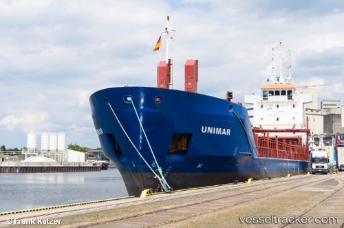
Vessel profile: Soniland is a Multi Purpose Carrier with dimensions 90m x 90m.
This page combines live AIS, route history, probable destination signals, nearby traffic, and port activity for practical vessel monitoring.
The current position of vessel Soniland is 57.76908 lat / 10.05482 lng. Updated: 2026-05-18 19:14:14 UTCNearest reference points:
- 15 nm N of Hirtshals
- Near Hirtshals
- Near SKAGEN
Currently sailing under the flag of Gibraltar ![]()
Soniland built in 1997 year
Deadweight:
4085 tDetails:
Live Vessel Soniland Analytics (details, animations, etc.)
Recent AIS points (UTC):
2026-05-18 15:53:44 UTC · 57.71745, 11.07276 · SOG 11.3 kn · COG 316°2026-05-18 16:37:34 UTC · 57.81386, 10.89731 · SOG 11.3 kn · COG 296°
2026-05-18 17:33:36 UTC · 57.84642, 10.59048 · SOG 11.1 kn · COG 269°
2026-05-18 19:14:14 UTC · 57.76908, 10.05482 · SOG 10.9 kn · COG 238°