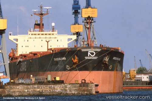
 MING YANG
Current Status
Where is the vessel?
MING YANG is currently in Near Tanjung Merangas, based on AIS data received about 14h ago.
Latest AIS update:
Current position: 0.01783° N, 117.61617° E (Near Tanjung Merangas)
Average speed (last 7 days): Loading…
Average speed (last 30 days): Loading…
Vessel profile: MING YANG is a Bulk Carrier with dimensions m x m.
This page combines live AIS, route history, probable destination signals, nearby traffic, and port activity for practical vessel monitoring.
The current position of vessel MING YANG is 0.01783 lat / 117.61617 lng. Updated: 2026-05-20 07:55:26 UTCNearest reference points:
- Near Santan Terminal
- 16 nm SE of Santan Terminal
- Near TANJUNG BARA
Currently sailing under the flag of Panama ![]()
Details:
Live Vessel MING YANG Analytics (details, animations, etc.)
Recent AIS points (UTC):
2026-05-20 04:52:29 UTC · 0.01817, 117.61617 · SOG 0.2 kn · COG 212°2026-05-20 06:11:24 UTC · 0.01667, 117.61500 · SOG 0 kn · COG -1°
2026-05-20 07:31:29 UTC · 0.01783, 117.61617 · SOG 0.1 kn · COG 218°
2026-05-20 07:55:26 UTC · 0.01783, 117.61617 · SOG 0 kn · COG 214°