 HR TURAG
Current Status
Where is the vessel?
HR TURAG is currently in 15 nm W of Westport/Port Klang, based on AIS data received about 15h ago.
Latest AIS update:
Current position: 2.89772° N, 101.04707° E (15 nm W of Westport/Port Klang)
Average speed (last 7 days): Loading…
Average speed (last 30 days): Loading…
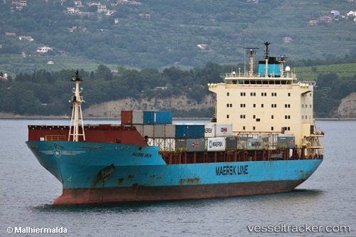
Vessel profile: HR TURAG is a Container Ship with dimensions m x m.
This page combines live AIS, route history, probable destination signals, nearby traffic, and port activity for practical vessel monitoring.
The current position of vessel HR TURAG is 2.89772 lat / 101.04707 lng. Updated: 2026-05-18 19:50:50 UTCNearest reference points:
- 21 nm SW of Pulau Indah
- Near Westport/Port Klang
- Near Pulau Indah
Currently sailing under the flag of Bangladesh ![]()
Details:
Live Vessel HR TURAG Analytics (details, animations, etc.)
Recent AIS points (UTC):
2026-05-18 16:19:09 UTC · 2.83952, 101.10712 · SOG 1.2 kn · COG 202°2026-05-18 18:12:49 UTC · 2.87367, 101.06822 · SOG 1.7 kn · COG 192°
2026-05-18 19:49:16 UTC · 2.89757, 101.04715 · SOG 0.4 kn · COG 200°
2026-05-18 19:50:50 UTC · 2.89772, 101.04707 · SOG 0.3 kn · COG 199°