 TAL STAR
Current Status
Where is the vessel?
TAL STAR is currently in Near Kalianak Barat, based on AIS data received about 14h ago.
Latest AIS update:
Current position: 7.18073° S, 112.69413° E (Near Kalianak Barat)
Average speed (last 7 days): Loading…
Average speed (last 30 days): Loading…
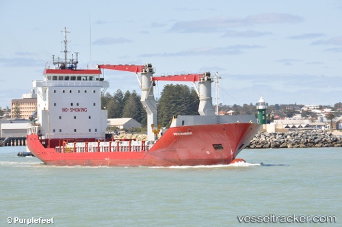
Vessel profile: TAL STAR is a General Cargo Ship with dimensions 13m x 93m.
This page combines live AIS, route history, probable destination signals, nearby traffic, and port activity for practical vessel monitoring.
The current position of vessel TAL STAR is -7.18073 lat / 112.69413 lng. Updated: 2026-05-18 18:15:11 UTCNearest reference points:
- Near Kalianak Barat
- Near GRESIK
- Near Gresik, Java
Currently sailing under the flag of Indonesia ![]()
TAL STAR built in 1998 year
Deadweight:
3480 tDetails:
Live Vessel TAL STAR Analytics (details, animations, etc.)
Recent AIS points (UTC):
2026-05-18 14:19:43 UTC · -7.18148, 112.69603 · SOG 0.4 kn · COG -1°2026-05-18 16:13:31 UTC · -7.18185, 112.69625 · SOG 0.2 kn · COG -1°
2026-05-18 16:21:02 UTC · -7.18188, 112.69570 · SOG 0.3 kn · COG -1°
2026-05-18 18:15:11 UTC · -7.18073, 112.69413 · SOG 0.1 kn · COG -1°