 K. FREESIA
Current Status
Where is the vessel?
K. FREESIA is currently in 84 nm NW of Eauripik Atoll, based on AIS data received about 14h ago.
Latest AIS update:
Current position: 7.32934° N, 141.81277° E (84 nm NW of Eauripik Atoll)
Average speed (last 7 days): Loading…
Average speed (last 30 days): Loading…
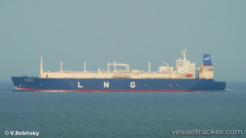
Vessel profile: K. FREESIA is a Lng Tanker with dimensions m x m.
This page combines live AIS, route history, probable destination signals, nearby traffic, and port activity for practical vessel monitoring.
The current position of vessel K. FREESIA is 7.32934 lat / 141.81277 lng. Updated: 2026-05-19 04:42:39 UTCCurrently sailing under the flag of Panama ![]()
Details:
Live Vessel K. FREESIA Analytics (details, animations, etc.)
Recent AIS points (UTC):
2026-05-19 01:53:07 UTC · 8.13807, 141.70137 · SOG 17.5 kn · COG 174°2026-05-19 02:08:48 UTC · 8.06165, 141.70667 · SOG 17.6 kn · COG 175°
2026-05-19 03:23:48 UTC · 7.70105, 141.74974 · SOG 17.1 kn · COG 171°
2026-05-19 04:42:39 UTC · 7.32934, 141.81277 · SOG 17.2 kn · COG 170°