 COSTA ATLANTICA
Current Status
Where is the vessel?
COSTA ATLANTICA is currently in 89 nm NW of Santa Lucia, based on AIS data received about 14h ago.
Latest AIS update:
Current position: 23.75167° N, 85.12167° W (89 nm NW of Santa Lucia)
Average speed (last 7 days): Loading…
Average speed (last 30 days): Loading…
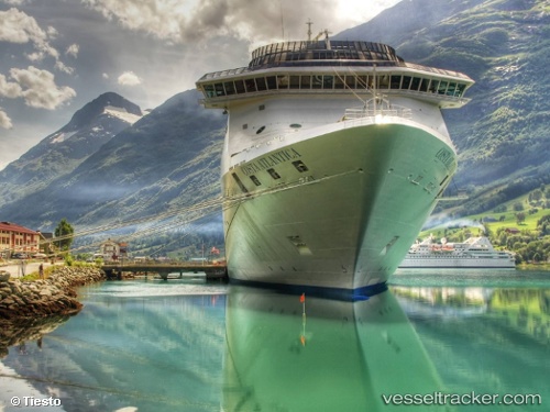
Vessel profile: COSTA ATLANTICA is a Passenger (Cruise) Ship with dimensions 34m x 292m.
This page combines live AIS, route history, probable destination signals, nearby traffic, and port activity for practical vessel monitoring.
The current position of vessel COSTA ATLANTICA is 23.75167 lat / -85.12167 lng. Updated: 2026-05-19 17:44:57 UTCNearest reference points:
- 14 nm W of Florida Straits
- 40 nm S of Florida Straits
- Near Mariel
Currently sailing under the flag of Bahamas ![]()
COSTA ATLANTICA built in 2000 year
Deadweight:
8600 tDetails:
Live Vessel COSTA ATLANTICA Analytics (details, animations, etc.)
Recent AIS points (UTC):
2026-05-19 13:54:44 UTC · 24.51865, -84.69423 · SOG 13.3 kn · COG 207°2026-05-19 15:56:52 UTC · 24.09500, -84.92833 · SOG 13 kn · COG -1°
2026-05-19 16:11:50 UTC · 24.04833, -84.95333 · SOG 12 kn · COG -1°
2026-05-19 17:44:57 UTC · 23.75167, -85.12167 · SOG 14 kn · COG -1°