 AKRA105
Current Status
Where is the vessel?
AKRA105 is currently in Near Tanjung Merangas, based on AIS data received about 14h ago.
Latest AIS update:
Current position: 0.00712° N, 117.59590° E (Near Tanjung Merangas)
Average speed (last 7 days): Loading…
Average speed (last 30 days): Loading…
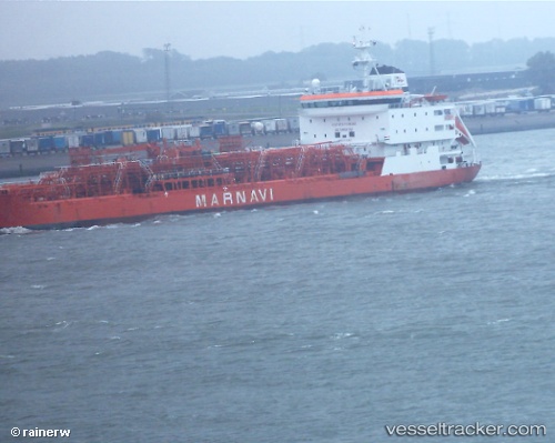
Vessel profile: AKRA105 is a Oil/Chemical Tanker with dimensions m x m.
This page combines live AIS, route history, probable destination signals, nearby traffic, and port activity for practical vessel monitoring.
The current position of vessel AKRA105 is 0.00712 lat / 117.59590 lng. Updated: 2026-05-20 22:03:25 UTCNearest reference points:
- Near Santan Terminal
- 16 nm SE of Santan Terminal
- Near TANJUNG BARA
Currently sailing under the flag of Indonesia ![]()
Details:
Live Vessel AKRA105 Analytics (details, animations, etc.)
Recent AIS points (UTC):
2026-05-20 16:35:55 UTC · 0.00716, 117.59595 · SOG 0.1 kn · COG 141°2026-05-20 17:41:37 UTC · 0.00715, 117.59611 · SOG 0.1 kn · COG 149°
2026-05-20 19:13:46 UTC · 0.00709, 117.59601 · SOG 0.1 kn · COG 138°
2026-05-20 22:03:25 UTC · 0.00712, 117.59590 · SOG 0 kn · COG 141°