 MINSTREL
Current Status
Where is the vessel?
MINSTREL is currently in 65 nm S of San Martín De Pusa, based on AIS data received about 15h ago.
Latest AIS update:
Current position: 38.72842° N, 4.29057° E (65 nm S of San Martín De Pusa)
Average speed (last 7 days): Loading…
Average speed (last 30 days): Loading…
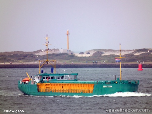
Vessel profile: MINSTREL is a General Cargo with dimensions m x m.
This page combines live AIS, route history, probable destination signals, nearby traffic, and port activity for practical vessel monitoring.
The current position of vessel MINSTREL is 38.72842 lat / 4.29057 lng. Updated: 2026-05-22 13:27:43 UTCNearest reference points:
- 36 nm S of San Martín De Pusa
- Near MAO
- Near Zamoranos
Currently sailing under the flag of Saint Kitts and Nevis ![]()
Details:
Live Vessel MINSTREL Analytics (details, animations, etc.)
Recent AIS points (UTC):
2026-05-22 10:03:29 UTC · 39.11198, 4.12218 · SOG 7 kn · COG 160°2026-05-22 11:40:59 UTC · 38.93227, 4.20084 · SOG 7 kn · COG 162°
2026-05-22 13:05:52 UTC · 38.77226, 4.27345 · SOG 7.3 kn · COG 163°
2026-05-22 13:27:43 UTC · 38.72842, 4.29057 · SOG 7.3 kn · COG 165°