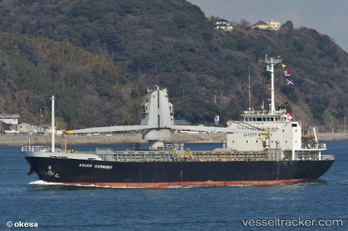
 ASIAN HARMONY
Current Status
Where is the vessel?
ASIAN HARMONY is currently in 52 nm NW of Mikuni, based on AIS data received about 14h ago.
Latest AIS update:
Current position: 36.78040° N, 135.32323° E (52 nm NW of Mikuni)
Average speed (last 7 days): Loading…
Average speed (last 30 days): Loading…
Vessel profile: ASIAN HARMONY is a Cargo with dimensions m x m.
This page combines live AIS, route history, probable destination signals, nearby traffic, and port activity for practical vessel monitoring.
The current position of vessel ASIAN HARMONY is 36.78040 lat / 135.32323 lng. Updated: 2026-05-23 06:11:38 UTCNearest reference points:
- 15 nm NW of SHIMONOHAMA
- Near Toyama
- Near Nada-Ku, Hyogo
Currently sailing under the flag of Palau ![]()
Details:
Live Vessel ASIAN HARMONY Analytics (details, animations, etc.)
Recent AIS points (UTC):
2026-05-23 02:02:51 UTC · 37.11876, 136.08545 · SOG 9.9 kn · COG 238°2026-05-23 04:21:30 UTC · 36.93328, 135.66386 · SOG 10.4 kn · COG 238°
2026-05-23 04:41:01 UTC · 36.90583, 135.60138 · SOG 10.5 kn · COG 239°
2026-05-23 06:11:38 UTC · 36.78040, 135.32323 · SOG 9.8 kn · COG 239°