 vesseltracker.com
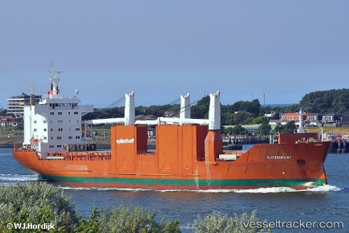
 Slotergracht
Current Status
Where is the vessel?
Slotergracht is currently in 311 nm NE of Saint George, based on AIS data received less than 1h ago.
Latest AIS update:
Current position: 35.37743° N, 59.60219° W (311 nm NE of Saint George)
Average speed (last 7 days): Loading…
Average speed (last 30 days): Loading…
Vessel profile: Slotergracht is a General Cargo Ship with dimensions 168m x 168m.
This page combines live AIS, route history, probable destination signals, nearby traffic, and port activity for practical vessel monitoring.
The current position of vessel Slotergracht is 35.37743 lat / -59.60219 lng. Updated: 2026-05-18 00:24:21 UTCCurrently sailing under the flag of Netherlands ![]()
Slotergracht built in 2000 year
Deadweight:
21402 tDetails:
Live Vessel Slotergracht Analytics (details, animations, etc.)
Recent AIS points (UTC):
2026-05-17 19:59:55 UTC · 35.57166, -58.36483 · SOG 16.3 kn · COG 259°2026-05-17 22:00:55 UTC · 35.46667, -58.96167 · SOG 13 kn · COG -1°
2026-05-17 22:11:48 UTC · 35.46082, -59.01255 · SOG 13.7 kn · COG 260°
2026-05-18 00:24:21 UTC · 35.37743, -59.60219 · SOG 13.2 kn · COG 261°