 GEUM GANG
Current Status
Where is the vessel?
GEUM GANG is currently in 17 nm W of Pulau Jarak, based on AIS data received about 16h ago.
Latest AIS update:
Current position: 3.96044° N, 99.79801° E (17 nm W of Pulau Jarak)
Average speed (last 7 days): Loading…
Average speed (last 30 days): Loading…
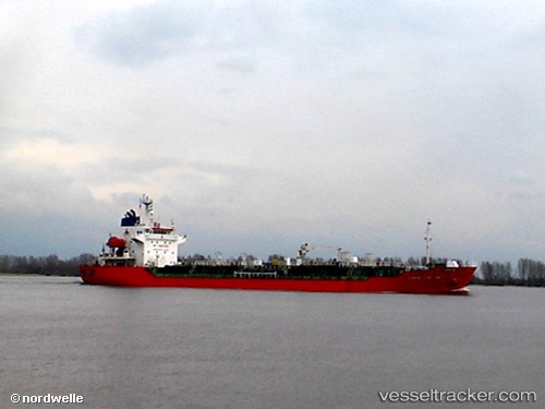
Vessel profile: GEUM GANG is a Oil/Chemical Tanker with dimensions m x m.
This page combines live AIS, route history, probable destination signals, nearby traffic, and port activity for practical vessel monitoring.
The current position of vessel GEUM GANG is 3.96044 lat / 99.79801 lng. Updated: 2026-05-21 13:50:43 UTCNearest reference points:
- 43 nm NE of Perbaungan
- 11 nm W of Pangkur
- Near PANGKOR
Currently sailing under the flag of Sao Tome and Principe ![]()
Details:
Live Vessel GEUM GANG Analytics (details, animations, etc.)
Recent AIS points (UTC):
2026-05-21 09:52:53 UTC · 3.50885, 100.29684 · SOG 9.6 kn · COG 319°2026-05-21 12:04:44 UTC · 3.74870, 100.03264 · SOG 10.3 kn · COG 315°
2026-05-21 13:50:43 UTC · 3.96044, 99.79801 · SOG 11.3 kn · COG -1°
2026-05-21 13:50:43 UTC · 3.96044, 99.79801 · SOG 11.3 kn · COG -1°