 LIBERTY KING
Current Status
Where is the vessel?
LIBERTY KING is currently in 148 nm NW of Nanao, based on AIS data received about 14h ago.
Latest AIS update:
Current position: 39.18294° N, 135.39153° E (148 nm NW of Nanao)
Average speed (last 7 days): Loading…
Average speed (last 30 days): Loading…
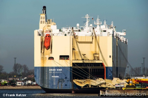
Vessel profile: LIBERTY KING is a Vehicles Carrier with dimensions 32m x 200m.
This page combines live AIS, route history, probable destination signals, nearby traffic, and port activity for practical vessel monitoring.
The current position of vessel LIBERTY KING is 39.18294 lat / 135.39153 lng. Updated: 2026-05-18 19:28:47 UTCNearest reference points:
- 63 nm NW of Sado Shima Apt
- 82 nm NE of Dokdo
- 80 nm NE of Dokdo
Currently sailing under the flag of Marshall Islands ![]()
LIBERTY KING built in 1998 year
Deadweight:
21511 tDetails:
Live Vessel LIBERTY KING Analytics (details, animations, etc.)
Recent AIS points (UTC):
2026-05-18 17:07:23 UTC · 38.87793, 134.70830 · SOG 15.6 kn · COG -1°2026-05-18 17:32:27 UTC · 38.93088, 134.82860 · SOG 15.4 kn · COG -1°
2026-05-18 19:28:47 UTC · 39.18294, 135.39153 · SOG 16.2 kn · COG 59°
2026-05-18 19:28:47 UTC · 39.18294, 135.39153 · SOG 16.2 kn · COG 59°