 vesseltracker.com
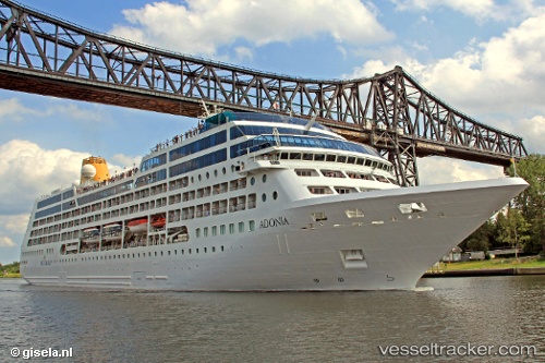
 AZAMARA PURSUIT
Current Status
Where is the vessel?
AZAMARA PURSUIT is currently in 24 nm NE of Akutan, based on AIS data received about 14h ago.
Latest AIS update:
Current position: 54.35347° N, 165.19080° W (24 nm NE of Akutan)
Average speed (last 7 days): Loading…
Average speed (last 30 days): Loading…
Vessel profile: AZAMARA PURSUIT is a Passengers Ship with dimensions m x m.
This page combines live AIS, route history, probable destination signals, nearby traffic, and port activity for practical vessel monitoring.
The current position of vessel AZAMARA PURSUIT is 54.35347 lat / -165.19080 lng. Updated: 2026-05-18 00:14:18 UTCNearest reference points:
- Near Dutch Harbor
Currently sailing under the flag of Marshall Islands ![]()
Details:
Live Vessel AZAMARA PURSUIT Analytics (details, animations, etc.)
Recent AIS points (UTC):
2026-05-17 19:58:49 UTC · 54.39312, -167.00557 · SOG 14.5 kn · COG 87°2026-05-17 21:48:02 UTC · 54.41407, -166.23814 · SOG 15.3 kn · COG 91°
2026-05-17 22:50:08 UTC · 54.39798, -165.78400 · SOG 15.6 kn · COG 103°
2026-05-18 00:14:18 UTC · 54.35347, -165.19080 · SOG 14.9 kn · COG 104°