 vesseltracker.com
 OPTIMA
Current Status
Where is the vessel?
OPTIMA is currently in 15 nm SW of FOTO, based on AIS data received about 14h ago.
Latest AIS update:
Current position: 57.47856° N, 11.33718° E (15 nm SW of FOTO)
Average speed (last 7 days): Loading…
Average speed (last 30 days): Loading…
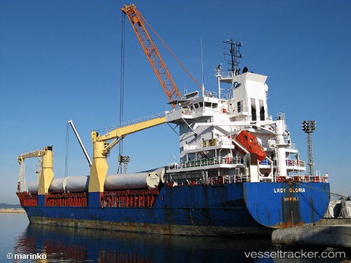
Vessel profile: OPTIMA is a General Cargo Ship with dimensions 108m x 18m.
This page combines live AIS, route history, probable destination signals, nearby traffic, and port activity for practical vessel monitoring.
The current position of vessel OPTIMA is 57.47856 lat / 11.33718 lng. Updated: 2026-05-18 02:13:12 UTCNearest reference points:
- 12 nm SW of Vrångö
- 11 nm SW of Vrångö
- 19 nm E of Sæby
Currently sailing under the flag of Antigua and Barbuda ![]()
OPTIMA built in 2000 year
Deadweight:
8151 tDetails:
Live Vessel OPTIMA Analytics (details, animations, etc.)
Recent AIS points (UTC):
2026-05-17 22:43:02 UTC · 57.80404, 10.48877 · SOG 11.5 kn · COG 85°2026-05-17 23:24:12 UTC · 57.80113, 10.73562 · SOG 10.7 kn · COG 105°
2026-05-18 01:48:02 UTC · 57.54006, 11.27432 · SOG 10.1 kn · COG 144°
2026-05-18 02:13:12 UTC · 57.47856, 11.33718 · SOG 9.9 kn · COG 158°