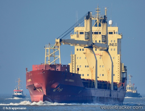
Mv.tanto Bagus
Current StatusWhere is the vessel?
Mv.tanto Bagus is currently in Near Madura Terminal, based on AIS data received about 15h ago.
Latest AIS update:
Current position: 6.88123° S, 112.80606° E (Near Madura Terminal)
Average speed (last 7 days): Loading…
Average speed (last 30 days): Loading…
Vessel profile: Mv.tanto Bagus is a Multi Purpose Carrier with dimensions 19m x 126m.
This page combines live AIS, route history, probable destination signals, nearby traffic, and port activity for practical vessel monitoring.
The current position of vessel Mv.tanto Bagus is -6.88123 lat / 112.80606 lng. Updated: 2026-05-19 17:00:06 UTCNearest reference points:
- 11 nm W of Madura Terminal
- Near Bangkalan
- 10 nm W of Poleng
Details:
Live Vessel Mv.tanto Bagus Analytics (details, animations, etc.)
Recent AIS points (UTC):
2026-05-19 13:13:15 UTC · -6.88298, 112.80597 · SOG 0 kn · COG 46°2026-05-19 14:05:01 UTC · -6.88294, 112.80588 · SOG 0 kn · COG 46°
2026-05-19 15:25:33 UTC · -6.88261, 112.80571 · SOG 0 kn · COG 64°
2026-05-19 17:00:06 UTC · -6.88123, 112.80606 · SOG 0 kn · COG 153°