 HOANH SON SKY
Current Status
Where is the vessel?
HOANH SON SKY is currently in 90 nm NE of Tanjungbatu, based on AIS data received about 14h ago.
Latest AIS update:
Current position: 2.94667° N, 119.43667° E (90 nm NE of Tanjungbatu)
Average speed (last 7 days): Loading…
Average speed (last 30 days): Loading…
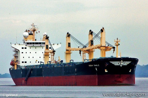
Vessel profile: HOANH SON SKY is a Bulk Carrier with dimensions 225m x 225m.
This page combines live AIS, route history, probable destination signals, nearby traffic, and port activity for practical vessel monitoring.
The current position of vessel HOANH SON SKY is 2.94667 lat / 119.43667 lng. Updated: 2026-05-19 04:00:56 UTCNearest reference points:
- 80 nm SE of Labuan Haji
- 43 nm E of Sibuko Bay
- 81 nm E of Muara Pantai
Currently sailing under the flag of Panama ![]()
HOANH SON SKY built in 2001 year
Deadweight:
74082 tDetails:
Live Vessel HOANH SON SKY Analytics (details, animations, etc.)
Recent AIS points (UTC):
2026-05-19 02:04:30 UTC · 2.63833, 119.39667 · SOG 9 kn · COG -1°2026-05-19 02:04:30 UTC · 2.63833, 119.39667 · SOG 9 kn · COG -1°
2026-05-19 03:31:44 UTC · 2.86774, 119.42730 · SOG 9.6 kn · COG -1°
2026-05-19 04:00:56 UTC · 2.94667, 119.43667 · SOG 9 kn · COG -1°