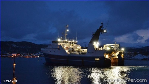
 Vesttind
Current Status
Where is the vessel?
Vesttind is currently in 16 nm NW of Stø, based on AIS data received about 14h ago.
Latest AIS update:
Current position: 69.16561° N, 14.49842° E (16 nm NW of Stø)
Average speed (last 7 days): Loading…
Average speed (last 30 days): Loading…
Vessel profile: Vesttind is a Fishing Vessel with dimensions 60m x 14m.
This page combines live AIS, route history, probable destination signals, nearby traffic, and port activity for practical vessel monitoring.
The current position of vessel Vesttind is 69.16561 lat / 14.49842 lng. Updated: 2026-05-18 19:14:39 UTCNearest reference points:
- Near Eidet
- Near Berrvik (Bergvik)
- Near SVOLVAER
Currently sailing under the flag of Norway ![]()
Vesttind built in 2000 year
Details:
Live Vessel Vesttind Analytics (details, animations, etc.)
Recent AIS points (UTC):
2026-05-18 15:52:48 UTC · 69.82601, 14.89539 · SOG 12.6 kn · COG 193°2026-05-18 16:34:46 UTC · 69.68145, 14.81621 · SOG 12.4 kn · COG 189°
2026-05-18 17:32:06 UTC · 69.49082, 14.69536 · SOG 12 kn · COG 193°
2026-05-18 19:14:39 UTC · 69.16561, 14.49842 · SOG 11.3 kn · COG 194°