 vesseltracker.com
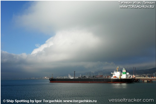
 ATLANTIS MZ
Current Status
Where is the vessel?
ATLANTIS MZ is currently in 74 nm W of Ras Isa Terminal, based on AIS data received about 14h ago.
Latest AIS update:
Current position: 15.07167° N, 41.40333° E (74 nm W of Ras Isa Terminal)
Average speed (last 7 days): Loading…
Average speed (last 30 days): Loading…
Vessel profile: ATLANTIS MZ is a Crude Oil Tanker with dimensions m x m.
This page combines live AIS, route history, probable destination signals, nearby traffic, and port activity for practical vessel monitoring.
The current position of vessel ATLANTIS MZ is 15.07167 lat / 41.40333 lng. Updated: 2026-05-18 05:02:27 UTCNearest reference points:
- 81 nm NW of As Salif
- 92 nm SW of Al Qahmah
- Near Jazan Economic City
Currently sailing under the flag of Comoros ![]()
Details:
Live Vessel ATLANTIS MZ Analytics (details, animations, etc.)
Recent AIS points (UTC):
2026-05-17 23:12:59 UTC · 15.07047, 41.40259 · SOG 0.1 kn · COG 328°2026-05-18 01:59:24 UTC · 15.07167, 41.40333 · SOG 0 kn · COG -1°
2026-05-18 03:53:27 UTC · 15.07167, 41.40333 · SOG 0 kn · COG -1°
2026-05-18 05:02:27 UTC · 15.07167, 41.40333 · SOG 0 kn · COG -1°