 PORTO CHELI
Current Status
Where is the vessel?
PORTO CHELI is currently in Near Sewell's Point, based on AIS data received about 15h ago.
Latest AIS update:
Current position: 36.90499° N, 76.32631° W (Near Sewell's Point)
Average speed (last 7 days): Loading…
Average speed (last 30 days): Loading…
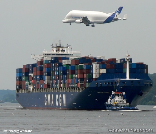
Vessel profile: PORTO CHELI is a Container Ship with dimensions 40m x 300m.
This page combines live AIS, route history, probable destination signals, nearby traffic, and port activity for practical vessel monitoring.
The current position of vessel PORTO CHELI is 36.90499 lat / -76.32631 lng. Updated: 2026-05-19 17:44:35 UTCNearest reference points:
- Near Norfolk
- Near Sewell's Point
- Near Hampton Roads Pt
Currently sailing under the flag of Liberia ![]()
PORTO CHELI built in 2001 year
Deadweight:
79465 tDetails:
Live Vessel PORTO CHELI Analytics (details, animations, etc.)
Recent AIS points (UTC):
2026-05-19 13:56:33 UTC · 36.90510, -76.32635 · SOG 0.1 kn · COG 352°2026-05-19 16:02:33 UTC · 36.90509, -76.32635 · SOG 0 kn · COG 352°
2026-05-19 16:11:32 UTC · 36.90508, -76.32636 · SOG 0 kn · COG 352°
2026-05-19 17:44:35 UTC · 36.90499, -76.32631 · SOG 0.2 kn · COG 352°