 ATLANTIC OCEAN
Current Status
Where is the vessel?
ATLANTIC OCEAN is currently in 11 nm SE of Daxie Pt, based on AIS data received about 1d ago.
Latest AIS update:
Current position: 29.79145° N, 122.12770° E (11 nm SE of Daxie Pt)
Average speed (last 7 days): Loading…
Average speed (last 30 days): Loading…
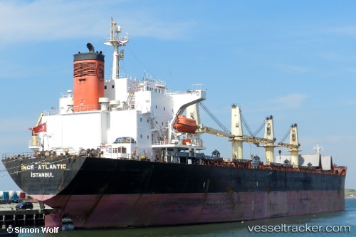
Vessel profile: ATLANTIC OCEAN is a Bulk Carrier with dimensions m x m.
This page combines live AIS, route history, probable destination signals, nearby traffic, and port activity for practical vessel monitoring.
The current position of vessel ATLANTIC OCEAN is 29.79145 lat / 122.12770 lng. Updated: 2026-05-19 01:37:34 UTCNearest reference points:
- 10 nm SE of Daxie Pt
- Near Daxie Pt
- Near ZHOUSHAN
Currently sailing under the flag of Panama ![]()
Details:
Live Vessel ATLANTIC OCEAN Analytics (details, animations, etc.)
Recent AIS points (UTC):
2026-05-19 01:37:34 UTC · 29.79145, 122.12770 · SOG 0.1 kn · COG -1°2026-05-19 01:37:34 UTC · 29.79145, 122.12770 · SOG 0.1 kn · COG -1°
2026-05-19 01:37:34 UTC · 29.79145, 122.12770 · SOG 0.1 kn · COG -1°
2026-05-19 01:37:34 UTC · 29.79145, 122.12770 · SOG 0.1 kn · COG -1°