 vesseltracker.com
 Fri River
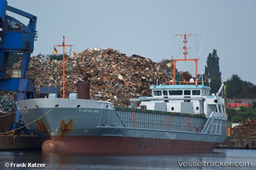
Current Status
Where is the vessel?
Fri River is currently in 12 nm SE of HELGOLAND, based on AIS data received about 15h ago.
Latest AIS update:
Current position: 54.04910° N, 8.16086° E (12 nm SE of HELGOLAND)
Average speed (last 7 days): Loading…
Average speed (last 30 days): Loading…
Vessel profile: Fri River is a Deck Cargo Ship with dimensions 91m x 14m.
This page combines live AIS, route history, probable destination signals, nearby traffic, and port activity for practical vessel monitoring.
The current position of vessel Fri River is 54.04910 lat / 8.16086 lng. Updated: 2026-05-18 14:14:42 UTCNearest reference points:
- 10 nm E of Wangerooge
- Near Wangerooge
- Near HOOKSIEL
Currently sailing under the flag of Bahamas ![]()
Fri River built in 2000 year
Deadweight:
3300 tDetails:
Live Vessel Fri River Analytics (details, animations, etc.)
Recent AIS points (UTC):
2026-05-18 10:44:42 UTC · 54.04919, 8.16380 · SOG 0 kn · COG 237°2026-05-18 11:53:42 UTC · 54.04893, 8.16400 · SOG 0.3 kn · COG 255°
2026-05-18 13:36:36 UTC · 54.04945, 8.16176 · SOG 0 kn · COG -1°
2026-05-18 14:14:42 UTC · 54.04910, 8.16086 · SOG 0 kn · COG 115°