 vesseltracker.com
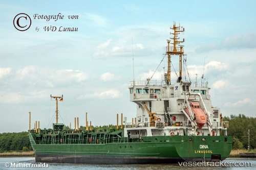
Dina
Current StatusWhere is the vessel?
Dina is currently in 30 nm N of Hijum, based on AIS data received less than 1h ago.
Latest AIS update:
Current position: 53.80140° N, 4.78593° E (30 nm N of Hijum)
Average speed (last 7 days): Loading…
Average speed (last 30 days): Loading…
Vessel profile: Dina is a Multi Purpose Carrier with dimensions 16m x 100m.
This page combines live AIS, route history, probable destination signals, nearby traffic, and port activity for practical vessel monitoring.
The current position of vessel Dina is 53.80140 lat / 4.78593 lng. Updated: 2026-05-17 22:40:02 UTCNearest reference points:
- Near Molengat
- Near de Waal
- Near OUDESCHILD
Details:
Live Vessel Dina Analytics (details, animations, etc.)
Recent AIS points (UTC):
2026-05-17 14:55:41 UTC · 54.95864, 5.36588 · SOG 9.3 kn · COG 191°2026-05-17 14:55:41 UTC · 54.95864, 5.36588 · SOG 9.3 kn · COG 191°
2026-05-17 14:55:41 UTC · 54.95864, 5.36588 · SOG 9.3 kn · COG 191°
2026-05-17 22:40:02 UTC · 53.80140, 4.78593 · SOG 9.4 kn · COG 202°