 vesseltracker.com
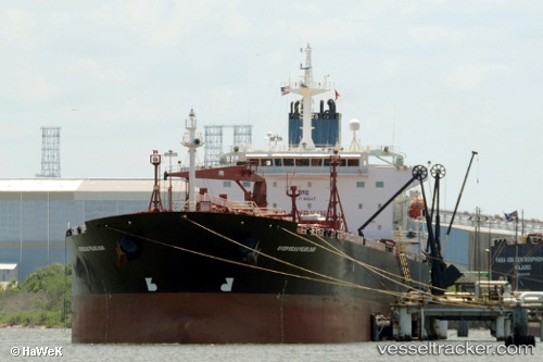
Seaways Pearlmar
Current StatusWhere is the vessel?
Seaways Pearlmar is currently in Near Tema, based on AIS data received about 15h ago.
Latest AIS update:
Current position: 5.63638° N, 0.01286° E (Near Tema)
Average speed (last 7 days): Loading…
Average speed (last 30 days): Loading…
Vessel profile: Seaways Pearlmar is a Crude Oil Tanker with dimensions 32m x 228m.
This page combines live AIS, route history, probable destination signals, nearby traffic, and port activity for practical vessel monitoring.
The current position of vessel Seaways Pearlmar is 5.63638 lat / 0.01286 lng. Updated: 2026-05-17 23:28:58 UTCNearest reference points:
- Near Ablogamé
- Near Sekondi
- Near Takoradi
Details:
Live Vessel Seaways Pearlmar Analytics (details, animations, etc.)
Recent AIS points (UTC):
2026-05-17 19:46:59 UTC · 5.63638, 0.01287 · SOG 0 kn · COG -1°2026-05-17 22:02:00 UTC · 5.63636, 0.01287 · SOG 0 kn · COG -1°
2026-05-17 22:20:00 UTC · 5.63636, 0.01286 · SOG 0 kn · COG -1°
2026-05-17 23:28:58 UTC · 5.63638, 0.01286 · SOG 0 kn · COG -1°