 MARIA FRANCISCA
Current Status
Where is the vessel?
MARIA FRANCISCA is currently in 144 nm NW of SAO LUIS, based on AIS data received about 14h ago.
Latest AIS update:
Current position: 2.01667° N, 1.28717° W (144 nm NW of SAO LUIS)
Average speed (last 7 days): Loading…
Average speed (last 30 days): Loading…
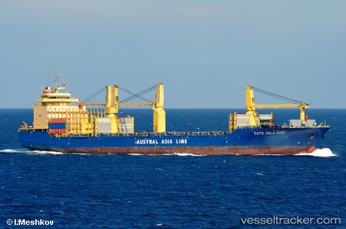
Vessel profile: MARIA FRANCISCA is a General Cargo with dimensions m x m.
This page combines live AIS, route history, probable destination signals, nearby traffic, and port activity for practical vessel monitoring.
The current position of vessel MARIA FRANCISCA is 2.01667 lat / -1.28717 lng. Updated: 2026-05-18 21:26:23 UTCNearest reference points:
- 66 nm N of SAO LUIS
- Near Porsuk
- Near SAO LUIS
Currently sailing under the flag of Portugal ![]()
Details:
Live Vessel MARIA FRANCISCA Analytics (details, animations, etc.)
Recent AIS points (UTC):
2026-05-18 16:48:40 UTC · 1.85983, -0.38417 · SOG 12.1 kn · COG 282°2026-05-18 16:48:40 UTC · 1.85983, -0.38417 · SOG 12.1 kn · COG 282°
2026-05-18 16:48:40 UTC · 1.85983, -0.38417 · SOG 12.1 kn · COG 282°
2026-05-18 21:26:23 UTC · 2.01667, -1.28717 · SOG 11.5 kn · COG 279°