 TB QUANZHOU
Current Status
Where is the vessel?
TB QUANZHOU is currently in 43 nm SE of CARBONERAS, based on AIS data received about 14h ago.
Latest AIS update:
Current position: 36.69220° N, 1.06222° W (43 nm SE of CARBONERAS)
Average speed (last 7 days): Loading…
Average speed (last 30 days): Loading…
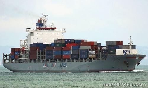
Vessel profile: TB QUANZHOU is a Cargo with dimensions m x m.
This page combines live AIS, route history, probable destination signals, nearby traffic, and port activity for practical vessel monitoring.
The current position of vessel TB QUANZHOU is 36.69220 lat / -1.06222 lng. Updated: 2026-05-20 22:12:18 UTCNearest reference points:
- 45 nm N of Mers El Kebir
- 47 nm SE of CARBONERAS
- 23 nm S of Rejected
Currently sailing under the flag of Liberia ![]()
Details:
Live Vessel TB QUANZHOU Analytics (details, animations, etc.)
Recent AIS points (UTC):
2026-05-20 16:51:54 UTC · 36.21159, -2.54624 · SOG 14.9 kn · COG 80°2026-05-20 17:33:00 UTC · 36.23437, -2.33640 · SOG 14.6 kn · COG 85°
2026-05-20 22:05:23 UTC · 36.68012, -1.09369 · SOG 14.6 kn · COG 65°
2026-05-20 22:12:18 UTC · 36.69220, -1.06222 · SOG 14.6 kn · COG 65°