 vesseltracker.com
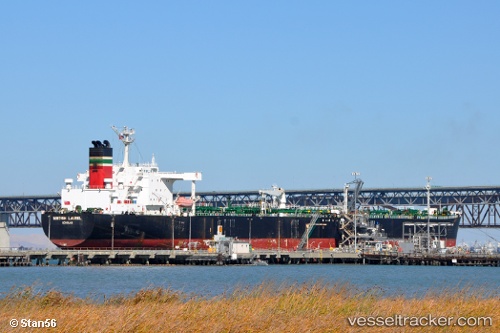
 BLUEBELL
Current Status
Where is the vessel?
BLUEBELL is currently in 43 nm NW of Pulau Jarak, based on AIS data received about 15h ago.
Latest AIS update:
Current position: 4.27637° N, 99.42729° E (43 nm NW of Pulau Jarak)
Average speed (last 7 days): Loading…
Average speed (last 30 days): Loading…
Vessel profile: BLUEBELL is a Crude Oil Tanker with dimensions m x m.
This page combines live AIS, route history, probable destination signals, nearby traffic, and port activity for practical vessel monitoring.
The current position of vessel BLUEBELL is 4.27637 lat / 99.42729 lng. Updated: 2026-05-17 22:27:44 UTCNearest reference points:
- 43 nm NE of Perbaungan
- 43 nm NE of PANGKALAN SUSU
- 10 nm NE of Belawan
Currently sailing under the flag of Equatorial Guinea ![]()
Details:
Live Vessel BLUEBELL Analytics (details, animations, etc.)
Recent AIS points (UTC):
2026-05-17 19:25:23 UTC · 3.93720, 99.84517 · SOG 9.8 kn · COG 311°2026-05-17 20:05:34 UTC · 4.00607, 99.75708 · SOG 9.9 kn · COG 310°
2026-05-17 22:10:14 UTC · 4.24147, 99.47110 · SOG 11.5 kn · COG 308°
2026-05-17 22:27:44 UTC · 4.27637, 99.42729 · SOG 11.5 kn · COG 307°