 vesseltracker.com
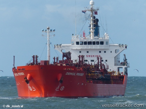
 ANDINO ALPHA
Current Status
Where is the vessel?
ANDINO ALPHA is currently in 38 nm S of ILHA GUAIBA, based on AIS data received about 15h ago.
Latest AIS update:
Current position: 23.60828° S, 43.82278° W (38 nm S of ILHA GUAIBA)
Average speed (last 7 days): Loading…
Average speed (last 30 days): Loading…
Vessel profile: ANDINO ALPHA is a Oil/Chemical Tanker with dimensions m x m.
This page combines live AIS, route history, probable destination signals, nearby traffic, and port activity for practical vessel monitoring.
The current position of vessel ANDINO ALPHA is -23.60828 lat / -43.82278 lng. Updated: 2026-05-18 08:02:45 UTCNearest reference points:
- 49 nm S of SEPETIBA
- 61 nm S of TEBIG
- 27 nm SW of Santos Dumont Apt/Rio de Janeiro
Details:
Live Vessel ANDINO ALPHA Analytics (details, animations, etc.)
Recent AIS points (UTC):
2026-05-18 04:58:52 UTC · -23.94436, -44.38878 · SOG 12.1 kn · COG 58°2026-05-18 06:15:35 UTC · -23.80121, -44.14883 · SOG 12.7 kn · COG 56°
2026-05-18 07:58:04 UTC · -23.61642, -43.83580 · SOG 11.1 kn · COG 57°
2026-05-18 08:02:45 UTC · -23.60828, -43.82278 · SOG 11.1 kn · COG 56°