 HARTATI
Current Status
Where is the vessel?
HARTATI is currently in 51 nm E of Tantawan Terminal, based on AIS data received about 14h ago.
Latest AIS update:
Current position: 10.34345° N, 102.23222° E (51 nm E of Tantawan Terminal)
Average speed (last 7 days): Loading…
Average speed (last 30 days): Loading…
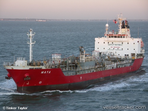
Vessel profile: HARTATI is a Oil/Chemical Tanker with dimensions m x m.
This page combines live AIS, route history, probable destination signals, nearby traffic, and port activity for practical vessel monitoring.
The current position of vessel HARTATI is 10.34345 lat / 102.23222 lng. Updated: 2026-05-19 11:26:03 UTCNearest reference points:
- 43 nm E of Benchamas
- 63 nm NW of Dai Hung (STS Load)
- Near KRONG PREAH SIHANOUK
Currently sailing under the flag of Indonesia ![]()
Details:
Live Vessel HARTATI Analytics (details, animations, etc.)
Recent AIS points (UTC):
2026-05-18 15:08:13 UTC · 8.15697, 104.37433 · SOG 9.3 kn · COG -1°2026-05-19 10:15:52 UTC · 10.18243, 102.35072 · SOG 10 kn · COG -1°
2026-05-19 11:11:00 UTC · 10.30902, 102.25762 · SOG 10.1 kn · COG -1°
2026-05-19 11:26:03 UTC · 10.34345, 102.23222 · SOG 10.1 kn · COG -1°