 MUMTAZ
Current Status
Where is the vessel?
MUMTAZ is currently in Near Pitra, based on AIS data received about 14h ago.
Latest AIS update:
Current position: 36.59046° N, 22.79252° E (Near Pitra)
Average speed (last 7 days): Loading…
Average speed (last 30 days): Loading…
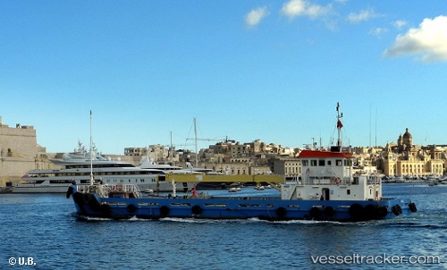
Vessel profile: MUMTAZ is a Offshore Supply Ship with dimensions m x m.
This page combines live AIS, route history, probable destination signals, nearby traffic, and port activity for practical vessel monitoring.
The current position of vessel MUMTAZ is 36.59046 lat / 22.79252 lng. Updated: 2026-05-20 21:51:33 UTCNearest reference points:
- 17 nm S of Areópolis
- Near Kythira
- 20 nm E of FOKIANOS
Currently sailing under the flag of Antigua and Barbuda ![]()
Details:
Live Vessel MUMTAZ Analytics (details, animations, etc.)
Recent AIS points (UTC):
2026-05-20 16:12:04 UTC · 36.37308, 23.07837 · SOG 3.2 kn · COG 306°2026-05-20 17:50:53 UTC · 36.41525, 22.97988 · SOG 3.1 kn · COG 294°
2026-05-20 19:32:14 UTC · 36.45774, 22.88300 · SOG 3.7 kn · COG 338°
2026-05-20 21:51:33 UTC · 36.59046, 22.79252 · SOG 4 kn · COG 323°