 vesseltracker.com
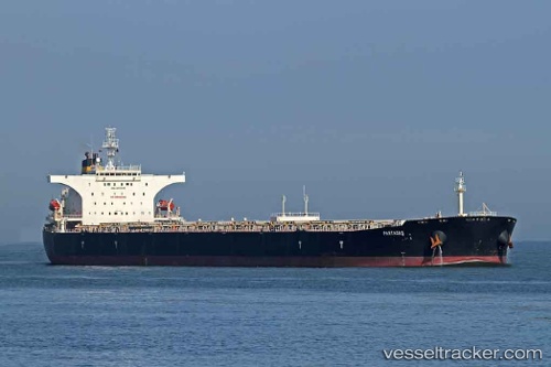
 CAPE LIUHENG
Current Status
Where is the vessel?
CAPE LIUHENG is currently in 325 nm W of Walvisbaai, based on AIS data received about 14h ago.
Latest AIS update:
Current position: 24.55290° S, 8.85327° E (325 nm W of Walvisbaai)
Average speed (last 7 days): Loading…
Average speed (last 30 days): Loading…
Vessel profile: CAPE LIUHENG is a Bulk Carrier with dimensions m x m.
This page combines live AIS, route history, probable destination signals, nearby traffic, and port activity for practical vessel monitoring.
The current position of vessel CAPE LIUHENG is -24.55290 lat / 8.85327 lng. Updated: 2026-05-18 14:11:34 UTCNearest reference points:
- Open sea, approx. 400 nm off the nearest listed port
- Open sea, approx. 402 nm off the nearest listed port
- Open sea, approx. 401 nm off the nearest listed port
Currently sailing under the flag of Marshall Islands ![]()
Details:
Live Vessel CAPE LIUHENG Analytics (details, animations, etc.)
Recent AIS points (UTC):
2026-05-18 10:46:08 UTC · -25.10333, 9.31167 · SOG 12 kn · COG -1°2026-05-18 11:49:07 UTC · -24.93691, 9.16949 · SOG 12 kn · COG 323°
2026-05-18 13:24:56 UTC · -24.67856, 8.95731 · SOG 11.9 kn · COG 323°
2026-05-18 14:11:34 UTC · -24.55290, 8.85327 · SOG 12.2 kn · COG 323°