 W NORTH
Current Status
Where is the vessel?
W NORTH is currently in 41 nm E of Strå, based on AIS data received about 14h ago.
Latest AIS update:
Current position: 57.83349° N, 20.29216° E (41 nm E of Strå)
Average speed (last 7 days): Loading…
Average speed (last 30 days): Loading…
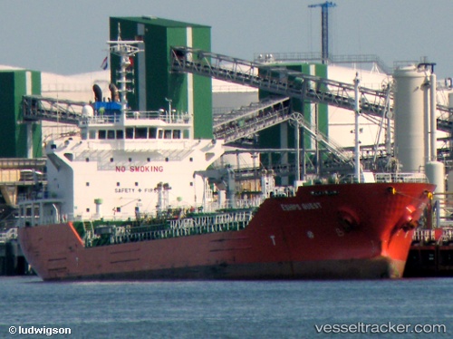
Vessel profile: W NORTH is a Oil/Chemical Tanker with dimensions m x m.
This page combines live AIS, route history, probable destination signals, nearby traffic, and port activity for practical vessel monitoring.
The current position of vessel W NORTH is 57.83349 lat / 20.29216 lng. Updated: 2026-05-18 21:37:09 UTCNearest reference points:
- 37 nm W of Vikati Sadam
- Near Ventspils
- 11 nm N of Ventspils
Currently sailing under the flag of Malta ![]()
Details:
Live Vessel W NORTH Analytics (details, animations, etc.)
Recent AIS points (UTC):
2026-05-18 18:24:00 UTC · 58.44271, 20.17789 · SOG 9 kn · COG 174°2026-05-18 19:28:49 UTC · 58.26152, 20.20611 · SOG 11.8 kn · COG 174°
2026-05-18 20:04:50 UTC · 58.14313, 20.22761 · SOG 12 kn · COG 171°
2026-05-18 21:37:09 UTC · 57.83349, 20.29216 · SOG 12.2 kn · COG 173°