 Indiana Highway
Current Status
Where is the vessel?
Indiana Highway is currently in 117 nm NE of Midway Island, based on AIS data received about 15h ago.
Latest AIS update:
Current position: 29.79752° N, 176.05830° W (117 nm NE of Midway Island)
Average speed (last 7 days): Loading…
Average speed (last 30 days): Loading…
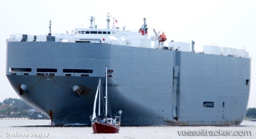
Vessel profile: Indiana Highway is a Vehicles Carrier with dimensions 200m x 32m.
This page combines live AIS, route history, probable destination signals, nearby traffic, and port activity for practical vessel monitoring.
The current position of vessel Indiana Highway is 29.79752 lat / -176.05830 lng. Updated: 2026-05-18 19:46:19 UTCNearest reference points:
- 115 nm N of Midway Island
Currently sailing under the flag of Japan ![]()
Indiana Highway built in 2003 year
Deadweight:
17442 tDetails:
Live Vessel Indiana Highway Analytics (details, animations, etc.)
Recent AIS points (UTC):
2026-05-18 16:58:44 UTC · 29.67900, -175.21716 · SOG 16.4 kn · COG 282°2026-05-18 17:16:10 UTC · 29.69196, -175.30643 · SOG 16.2 kn · COG 280°
2026-05-18 19:26:07 UTC · 29.78039, -175.95724 · SOG 15.9 kn · COG 279°
2026-05-18 19:46:19 UTC · 29.79752, -176.05830 · SOG 16 kn · COG 279°