 Texas Highway
Current Status
Where is the vessel?
Texas Highway is currently in 27 nm E of El Cirial (Isla Iguana), based on AIS data received about 14h ago.
Latest AIS update:
Current position: 7.58354° N, 79.52898° W (27 nm E of El Cirial (Isla Iguana))
Average speed (last 7 days): Loading…
Average speed (last 30 days): Loading…
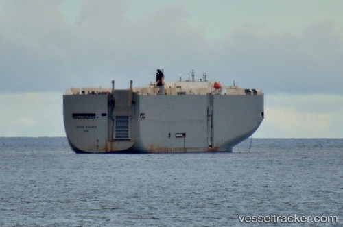
Vessel profile: Texas Highway is a Vehicles Carrier with dimensions 199m x 199m.
This page combines live AIS, route history, probable destination signals, nearby traffic, and port activity for practical vessel monitoring.
The current position of vessel Texas Highway is 7.58354 lat / -79.52898 lng. Updated: 2026-05-19 08:08:01 UTCNearest reference points:
- 30 nm E of El Cirial (Isla Iguana)
- Near Saboga
- Near Melones
Currently sailing under the flag of Japan ![]()
Texas Highway built in 2003 year
Deadweight:
17481 tDetails:
Live Vessel Texas Highway Analytics (details, animations, etc.)
Recent AIS points (UTC):
2026-05-19 04:32:03 UTC · 6.90569, -80.20768 · SOG 13.8 kn · COG 45°2026-05-19 06:05:50 UTC · 7.19120, -79.91197 · SOG 15.8 kn · COG -1°
2026-05-19 07:17:42 UTC · 7.42099, -79.68904 · SOG 15.8 kn · COG 45°
2026-05-19 08:08:01 UTC · 7.58354, -79.52898 · SOG 16.4 kn · COG 46°