 GAS ROSEA
Current Status
Where is the vessel?
GAS ROSEA is currently in 288 nm N of Tinaquillo, based on AIS data received about 14h ago.
Latest AIS update:
Current position: 14.66723° N, 67.67980° E (288 nm N of Tinaquillo)
Average speed (last 7 days): Loading…
Average speed (last 30 days): Loading…
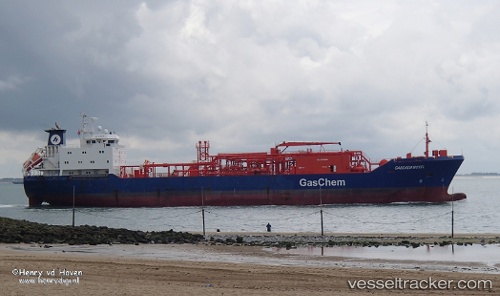
Vessel profile: GAS ROSEA is a Tanker with dimensions m x m.
This page combines live AIS, route history, probable destination signals, nearby traffic, and port activity for practical vessel monitoring.
The current position of vessel GAS ROSEA is 14.66723 lat / 67.67980 lng. Updated: 2026-05-19 18:15:41 UTCNearest reference points:
- 282 nm W of RATNAGIRI
- 187 nm N of Tinaquillo
- 306 nm SW of Veraval
Currently sailing under the flag of Indonesia ![]()
Details:
Live Vessel GAS ROSEA Analytics (details, animations, etc.)
Recent AIS points (UTC):
2026-05-19 10:02:50 UTC · 13.34168, 68.84132 · SOG 12.3 kn · COG 320°2026-05-19 16:11:21 UTC · 14.32500, 67.96969 · SOG 12.7 kn · COG 320°
2026-05-19 16:11:21 UTC · 14.32500, 67.96969 · SOG 12.7 kn · COG 320°
2026-05-19 18:15:41 UTC · 14.66723, 67.67980 · SOG 12.8 kn · COG 319°