 KING CHAIN
Current Status
Where is the vessel?
KING CHAIN is currently in Near JINHAI HEAVY INDUSTR, based on AIS data received about 14h ago.
Latest AIS update:
Current position: 30.28810° N, 122.07045° E (Near JINHAI HEAVY INDUSTR)
Average speed (last 7 days): Loading…
Average speed (last 30 days): Loading…
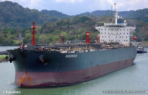
Vessel profile: KING CHAIN is a Oil Products Tanker with dimensions m x m.
This page combines live AIS, route history, probable destination signals, nearby traffic, and port activity for practical vessel monitoring.
The current position of vessel KING CHAIN is 30.28810 lat / 122.07045 lng. Updated: 2026-05-19 14:18:11 UTCNearest reference points:
- Near JINHAI HEAVY INDUSTR
- 11 nm N of Majistan/Zhoushan
- 11 nm NW of JINHAI HEAVY INDUSTR
Currently sailing under the flag of Cameroon ![]()
Details:
Live Vessel KING CHAIN Analytics (details, animations, etc.)
Recent AIS points (UTC):
2026-05-19 11:13:56 UTC · 30.28812, 122.07042 · SOG 0.1 kn · COG -1°2026-05-19 11:25:55 UTC · 30.28812, 122.07036 · SOG 0 kn · COG -1°
2026-05-19 13:04:55 UTC · 30.28808, 122.07036 · SOG 0.1 kn · COG -1°
2026-05-19 14:18:11 UTC · 30.28810, 122.07045 · SOG 0.1 kn · COG -1°