 LAURIERBORG
Current Status
Where is the vessel?
LAURIERBORG is currently in 16 nm E of Broadstairs, based on AIS data received about 15h ago.
Latest AIS update:
Current position: 51.38267° N, 1.85468° E (16 nm E of Broadstairs)
Average speed (last 7 days): Loading…
Average speed (last 30 days): Loading…
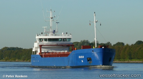
Vessel profile: LAURIERBORG is a General Cargo with dimensions m x m.
This page combines live AIS, route history, probable destination signals, nearby traffic, and port activity for practical vessel monitoring.
The current position of vessel LAURIERBORG is 51.38267 lat / 1.85468 lng. Updated: 2026-05-21 09:49:58 UTCNearest reference points:
- 15 nm E of RAMSGATE
- 14 nm SE of RAMSGATE
- Near Broadstairs
Currently sailing under the flag of Netherlands ![]()
Details:
Live Vessel LAURIERBORG Analytics (details, animations, etc.)
Recent AIS points (UTC):
2026-05-21 05:54:09 UTC · 51.80620, 2.43073 · SOG 7.6 kn · COG 219°2026-05-21 07:09:29 UTC · 51.68791, 2.26221 · SOG 7.7 kn · COG 220°
2026-05-21 07:49:27 UTC · 51.62164, 2.16554 · SOG 8.3 kn · COG 220°
2026-05-21 09:49:58 UTC · 51.38267, 1.85468 · SOG 10.3 kn · COG 206°