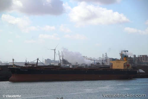
 CHANG YANG JIN LONG
Current Status
Where is the vessel?
CHANG YANG JIN LONG is currently in 60 nm NE of Ranai, based on AIS data received about 1d ago.
Latest AIS update:
Current position: 4.82119° N, 108.80942° E (60 nm NE of Ranai)
Average speed (last 7 days): Loading…
Average speed (last 30 days): Loading…
Vessel profile: CHANG YANG JIN LONG is a Bulk Carrier with dimensions m x m.
This page combines live AIS, route history, probable destination signals, nearby traffic, and port activity for practical vessel monitoring.
The current position of vessel CHANG YANG JIN LONG is 4.82119 lat / 108.80942 lng. Updated: 2026-05-22 09:45:40 UTCNearest reference points:
- 34 nm SE of Ranai
- 46 nm E of Kakap Natuna Terminal
- 45 nm E of Kakap Natuna Terminal
Currently sailing under the flag of Palau ![]()
Details:
Live Vessel CHANG YANG JIN LONG Analytics (details, animations, etc.)
Recent AIS points (UTC):
2026-05-22 09:45:40 UTC · 4.82119, 108.80942 · SOG 12.7 kn · COG 191°2026-05-22 09:45:40 UTC · 4.82119, 108.80942 · SOG 12.7 kn · COG 191°
2026-05-22 09:45:40 UTC · 4.82119, 108.80942 · SOG 12.7 kn · COG 191°
2026-05-22 09:45:40 UTC · 4.82119, 108.80942 · SOG 12.7 kn · COG 191°