 HOANH SON PLANET
Current Status
Where is the vessel?
HOANH SON PLANET is currently in Near Westport/Port Klang, based on AIS data received about 14h ago.
Latest AIS update:
Current position: 2.95693° N, 101.30713° E (Near Westport/Port Klang)
Average speed (last 7 days): Loading…
Average speed (last 30 days): Loading…
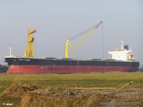
Vessel profile: HOANH SON PLANET is a Bulk Carrier with dimensions m x m.
This page combines live AIS, route history, probable destination signals, nearby traffic, and port activity for practical vessel monitoring.
The current position of vessel HOANH SON PLANET is 2.95693 lat / 101.30713 lng. Updated: 2026-05-19 19:18:31 UTCNearest reference points:
- Near Westport/Port Klang
- Near PORT KLANG
- Near Port Klang (Ferry Port)
Currently sailing under the flag of Panama ![]()
Details:
Live Vessel HOANH SON PLANET Analytics (details, animations, etc.)
Recent AIS points (UTC):
2026-05-19 15:30:15 UTC · 2.95694, 101.30715 · SOG 0 kn · COG 31°2026-05-19 16:54:10 UTC · 2.95689, 101.30711 · SOG 0 kn · COG 31°
2026-05-19 18:12:12 UTC · 2.95692, 101.30715 · SOG 0 kn · COG 31°
2026-05-19 19:18:31 UTC · 2.95693, 101.30713 · SOG 0 kn · COG -1°