 vesseltracker.com
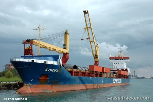
 Bf Ayita
Current Status
Where is the vessel?
Bf Ayita is currently in 122 nm NE of Nedroma, based on AIS data received about 2h ago.
Latest AIS update:
Current position: 35.99333° N, 12.49333° W (122 nm NE of Nedroma)
Average speed (last 7 days): Loading…
Average speed (last 30 days): Loading…
Vessel profile: Bf Ayita is a Multi Purpose Carrier with dimensions 146m x 18m.
This page combines live AIS, route history, probable destination signals, nearby traffic, and port activity for practical vessel monitoring.
The current position of vessel Bf Ayita is 35.99333 lat / -12.49333 lng. Updated: 2026-05-18 01:09:35 UTCNearest reference points:
- 118 nm NE of Nedroma
- 116 nm NE of Nedroma
- 115 nm E of Nedroma
Currently sailing under the flag of Antigua Barbuda ![]()
Bf Ayita built in 2004 year
Deadweight:
10385 tDetails:
Live Vessel Bf Ayita Analytics (details, animations, etc.)
Recent AIS points (UTC):
2026-05-17 22:00:31 UTC · 35.57667, -12.66167 · SOG 8 kn · COG -1°2026-05-17 22:00:31 UTC · 35.57667, -12.66167 · SOG 8 kn · COG -1°
2026-05-18 01:09:35 UTC · 35.99333, -12.49333 · SOG 8 kn · COG -1°
2026-05-18 01:09:35 UTC · 35.99333, -12.49333 · SOG 8 kn · COG -1°