 SC MONTREUX
Current Status
Where is the vessel?
SC MONTREUX is currently in 17 nm E of Conflict Group, based on AIS data received about 14h ago.
Latest AIS update:
Current position: 10.78230° S, 152.08730° E (17 nm E of Conflict Group)
Average speed (last 7 days): Loading…
Average speed (last 30 days): Loading…
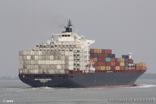
Vessel profile: SC MONTREUX is a Container Ship with dimensions 263m x 32m.
This page combines live AIS, route history, probable destination signals, nearby traffic, and port activity for practical vessel monitoring.
The current position of vessel SC MONTREUX is -10.78230 lat / 152.08730 lng. Updated: 2026-05-20 06:28:37 UTCCurrently sailing under the flag of Marshall Islands ![]()
SC MONTREUX built in 2005 year
Deadweight:
52863 tDetails:
Live Vessel SC MONTREUX Analytics (details, animations, etc.)
Recent AIS points (UTC):
2026-05-20 02:30:10 UTC · -11.91981, 152.60223 · SOG 19.3 kn · COG 315°2026-05-20 03:46:28 UTC · -11.62511, 152.31180 · SOG 19 kn · COG 312°
2026-05-20 04:01:55 UTC · -11.56732, 152.25240 · SOG 19.3 kn · COG 312°
2026-05-20 06:28:37 UTC · -10.78230, 152.08730 · SOG 20.8 kn · COG 355°