 LIBERTY NEW YORK
Current Status
Where is the vessel?
LIBERTY NEW YORK is currently in 39 nm W of Burnopfield, based on AIS data received about 14h ago.
Latest AIS update:
Current position: 54.26873° N, 173.20622° W (39 nm W of Burnopfield)
Average speed (last 7 days): Loading…
Average speed (last 30 days): Loading…
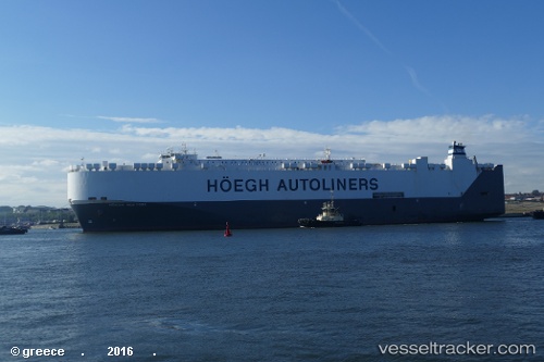
Vessel profile: LIBERTY NEW YORK is a Vehicles Carrier with dimensions m x m.
This page combines live AIS, route history, probable destination signals, nearby traffic, and port activity for practical vessel monitoring.
The current position of vessel LIBERTY NEW YORK is 54.26873 lat / -173.20622 lng. Updated: 2026-05-19 03:31:56 UTCCurrently sailing under the flag of Marshall Islands ![]()
Details:
Live Vessel LIBERTY NEW YORK Analytics (details, animations, etc.)
Recent AIS points (UTC):
2026-05-18 23:45:10 UTC · 54.29601, -171.62985 · SOG 14.8 kn · COG 264°2026-05-19 01:22:11 UTC · 54.28487, -172.30824 · SOG 14.7 kn · COG 264°
2026-05-19 01:39:55 UTC · 54.28166, -172.42461 · SOG 14.9 kn · COG 264°
2026-05-19 03:31:56 UTC · 54.26873, -173.20622 · SOG 14.4 kn · COG 266°