 OCEAN MARY
Current Status
Where is the vessel?
OCEAN MARY is currently in 18 nm E of Moho Bilondo, based on AIS data received about 14h ago.
Latest AIS update:
Current position: 5.94945° S, 10.55754° E (18 nm E of Moho Bilondo)
Average speed (last 7 days): Loading…
Average speed (last 30 days): Loading…
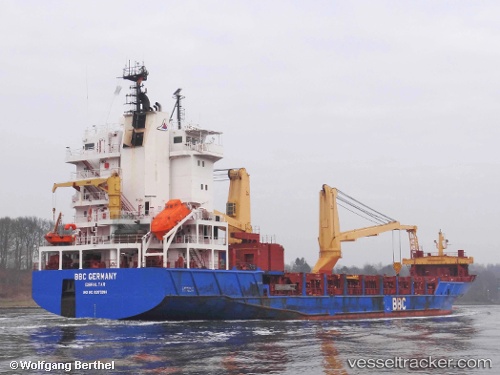
Vessel profile: OCEAN MARY is a General Cargo with dimensions m x m.
This page combines live AIS, route history, probable destination signals, nearby traffic, and port activity for practical vessel monitoring.
The current position of vessel OCEAN MARY is -5.94945 lat / 10.55754 lng. Updated: 2026-05-18 20:21:35 UTCNearest reference points:
- Near N'Kossa Terminal
- 11 nm W of Cabinda
- Near Futila Terminal
Currently sailing under the flag of Barbados ![]()
Details:
Live Vessel OCEAN MARY Analytics (details, animations, etc.)
Recent AIS points (UTC):
2026-05-18 16:35:13 UTC · -6.45774, 10.52163 · SOG 9.3 kn · COG 350°2026-05-18 17:34:22 UTC · -6.30687, 10.48273 · SOG 8.9 kn · COG 349°
2026-05-18 19:11:10 UTC · -6.08247, 10.44810 · SOG 8.1 kn · COG 40°
2026-05-18 20:21:35 UTC · -5.94945, 10.55754 · SOG 9 kn · COG 41°