 DOVE
DOVE
Current Status
Where is the vessel?
DOVE is currently in 30 nm SE of Bolt Head, based on AIS data received about 15h ago.
Latest AIS update:
Current position: 49.84906° N, 3.26315° W (30 nm SE of Bolt Head)
Average speed (last 7 days): Loading…
Average speed (last 30 days): Loading…
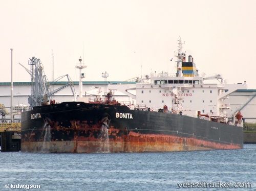
Vessel profile: DOVE is a Crude Oil Tanker with dimensions m x m.
This page combines live AIS, route history, probable destination signals, nearby traffic, and port activity for practical vessel monitoring.
The current position of vessel DOVE is 49.84906 lat / -3.26315 lng. Updated: 2026-05-21 22:24:07 UTCNearest reference points:
- 16 nm SE of Brixham
- 23 nm NW of Saint Sampson
- Near Brixham
Currently sailing under the flag of Panama ![]()
Details:
Live Vessel DOVE Analytics (details, animations, etc.)
Recent AIS points (UTC):
2026-05-21 19:49:27 UTC · 50.04276, -2.57395 · SOG 12.4 kn · COG 254°2026-05-21 19:57:57 UTC · 50.03421, -2.61829 · SOG 12.3 kn · COG 253°
2026-05-21 22:07:17 UTC · 49.87575, -3.19867 · SOG 10.6 kn · COG 237°
2026-05-21 22:24:07 UTC · 49.84906, -3.26315 · SOG 10.6 kn · COG 241°